The Vitals
The Trip
We scrambled to get some route intel and glacier gear before heading out early on Saturday morning. The roads were in good driving shape (one shallow creek to cross at this time of year) but it still takes quite a while to get to the washout of the G-main. The position of the washout is fine for the traverse because it’s right at the junction where the exit spur road joins the G-main. There are reasons I wouldn’t recommend this route at the moment but the access to the trailhead isn’t one of them.
We started the hike around 9:30 and the first obstacle is about 300 m of river flowing on the former road. Following this was a quick section on relatively clear road next to some swamp land and a lot of sun. We went out on to some floodplain from the river but the surface was soft sand and slow going so we returned to the road that had become quite overgrown. There was little reprieve from the bushy road from here until the Bug Lake trailhead except for one bridge over Outrigger Creek.
The start of the Bug Lake trail was actually well-marked with flagging but the difficulty of access has resulted in the trail falling into disrepair. We were rarely on the trail for long and it took us about 4 hours to climb 900 meters in about 2 km. There was substantial deadfall and some old forest fire burn with thick bush but eventually we reached the lake and had a well-deserved swim.
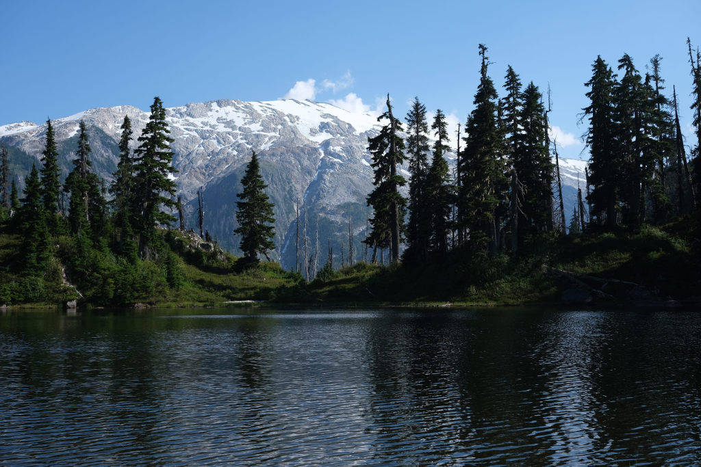
We were quite far behind where we thought we would get on the first day, so after a 45 minute rest we resumed bush-bashing for another 30 minutes or so above the lake until we hit the alpine for good. One of the linked trip reports above has some useful waypoints and got us headed on a marked trail again, contouring a steep slope until we resumed uphill travel and found some decent camping at 7:00 pm.
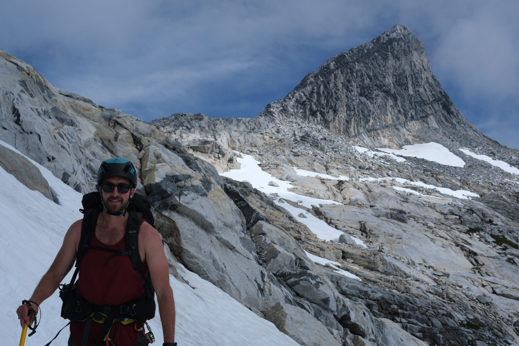
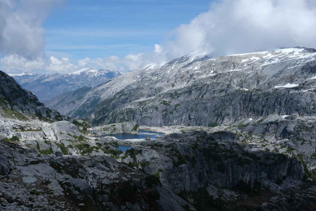
Now that we could see more of the route ahead, we were surprised by the substantial elevation we would need to gain and lose on our way to Outrigger. For example, there is a summit to the west of Outrigger that is only 100 meters shorter that we didn’t really pick up on ahead of time from the topo. In any case, to make up for our slow first day we planned to complete the alpine travel on the second day and camp at some small lakes above the last descent. How naive.
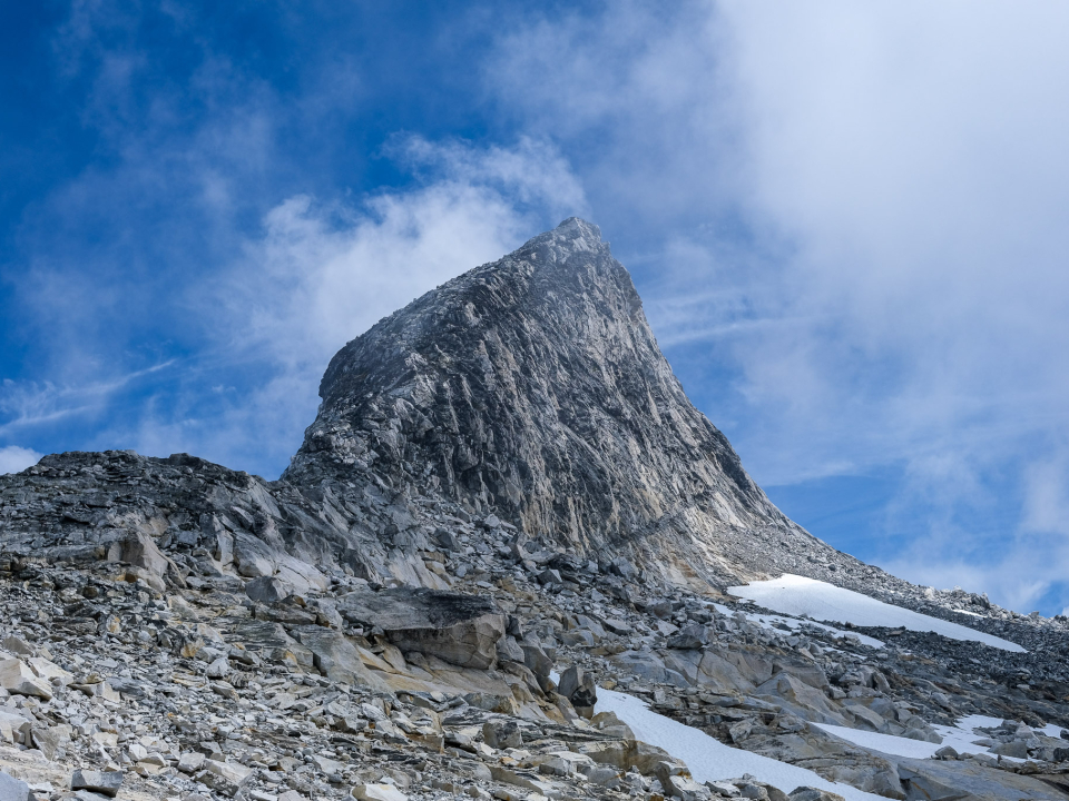
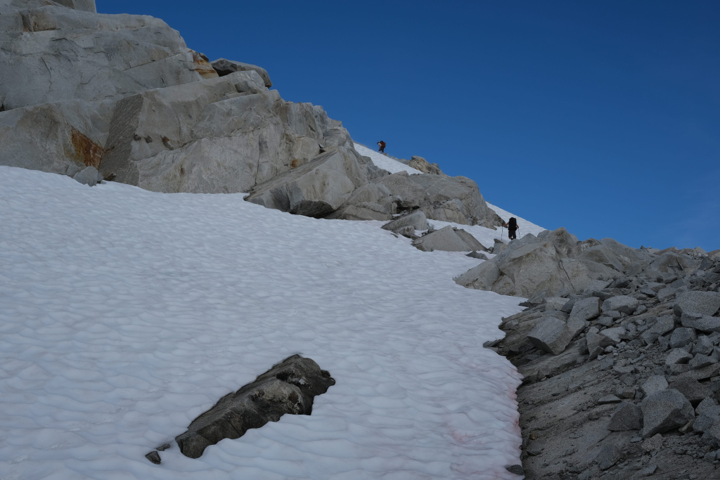
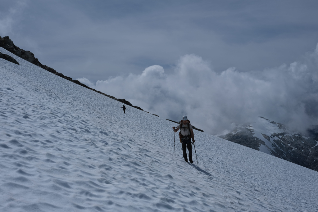
In the morning we set off about 8:00 am and continued to climb until we reached rock and snow. We had some slow sections as we tried to decide the best route above and around small local high points on the way to the final snow climb to Mt. John Clarke’s summit. I don’t know if we made the best route choices but we made it by doing some decently technical downclimbing to the last col. From here to the summit was very easy and we stopped for lunch.
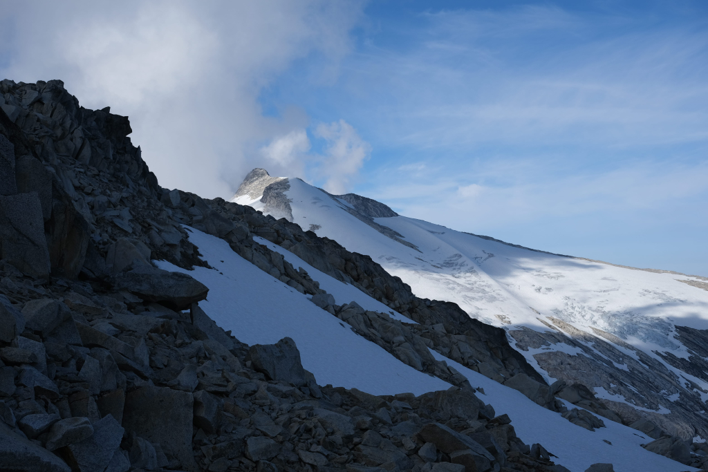
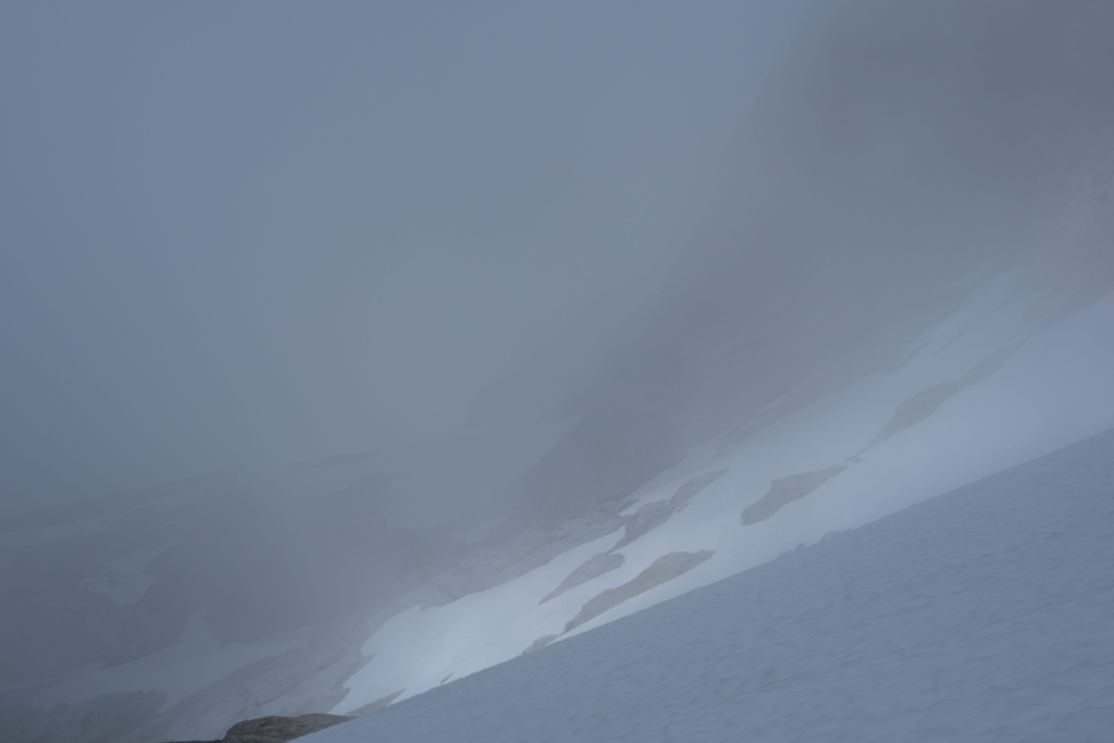
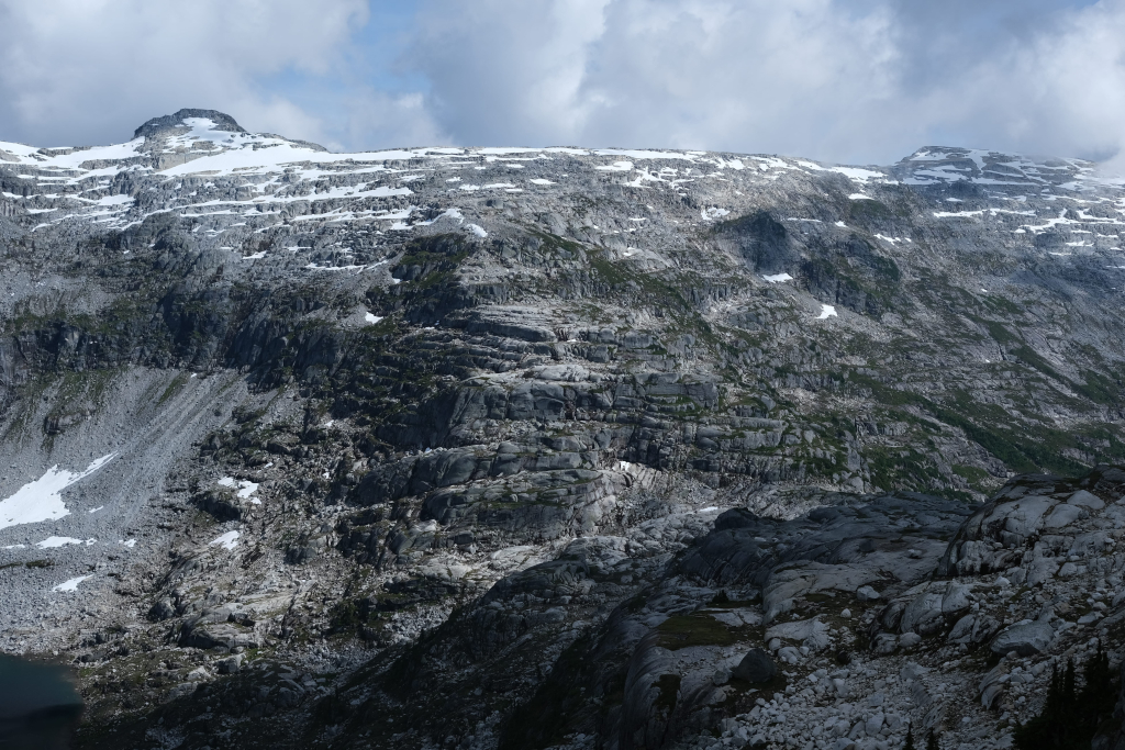
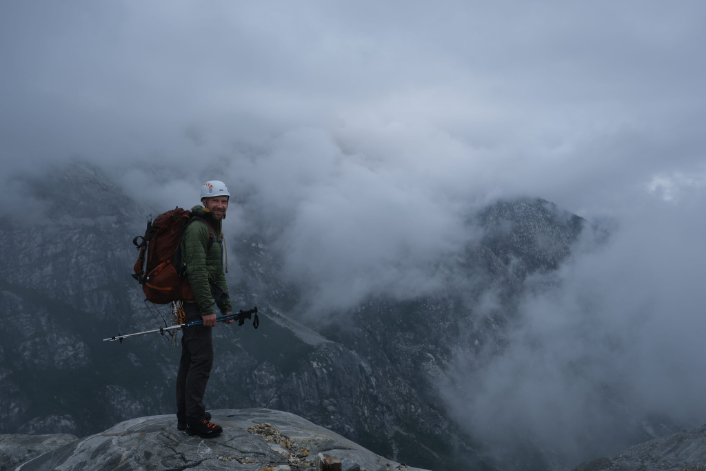
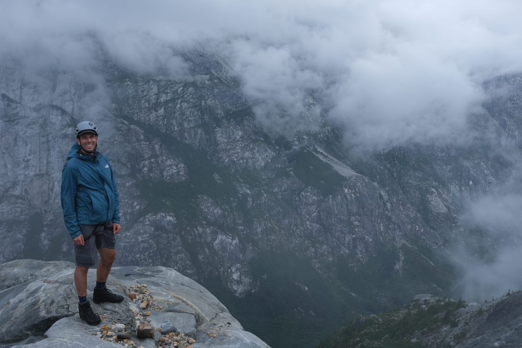
An unfortunate theme through the second afternoon and third morning was swirling clouds which both obscured the reportedly stellar views and also hampered route-finding, especially when visibility would drop to ~100 meters.
The next difficulty was what we understood to be the crux of the route – a steep contour of a snow slope below a subsummit west of Clarke proper. We donned crampons and kicked steps for purchase before wandering around for a bit looking for the best route. This was not technically challenging but there is some exposure. In general, the best move from here to the head of the valley is to stay up on the broad ridge. It’s tempting to drop down on the left/south side of the ridge but you just keep needing to go back up when you discover more cliffs.
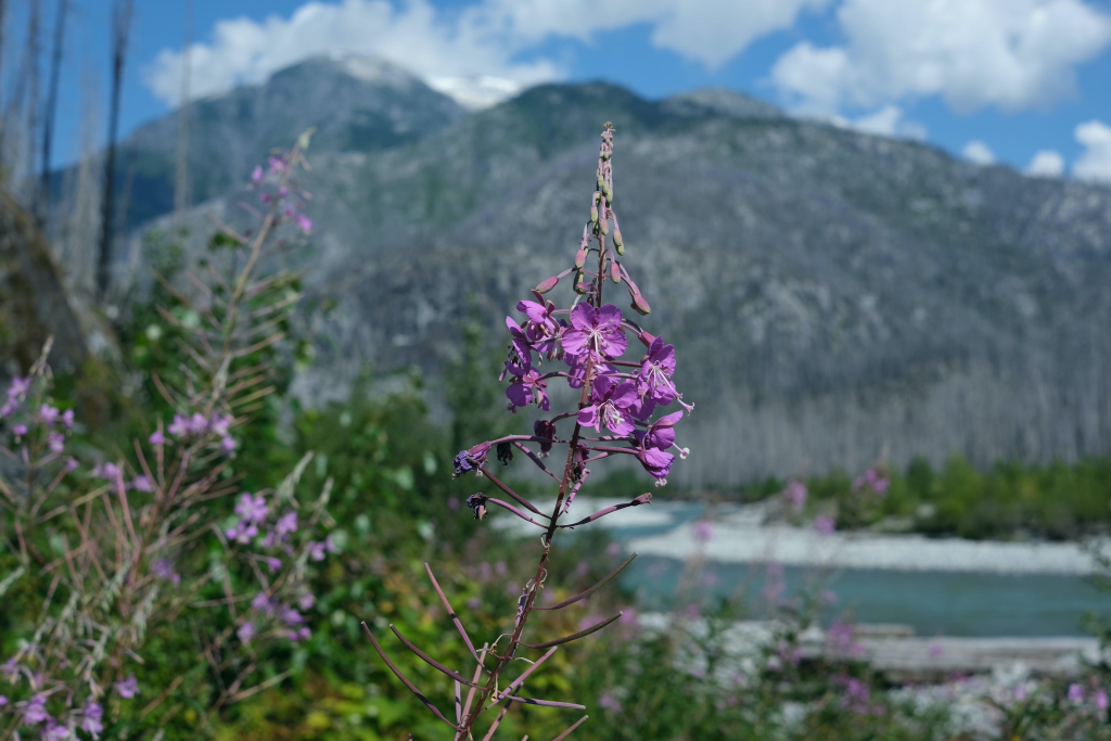
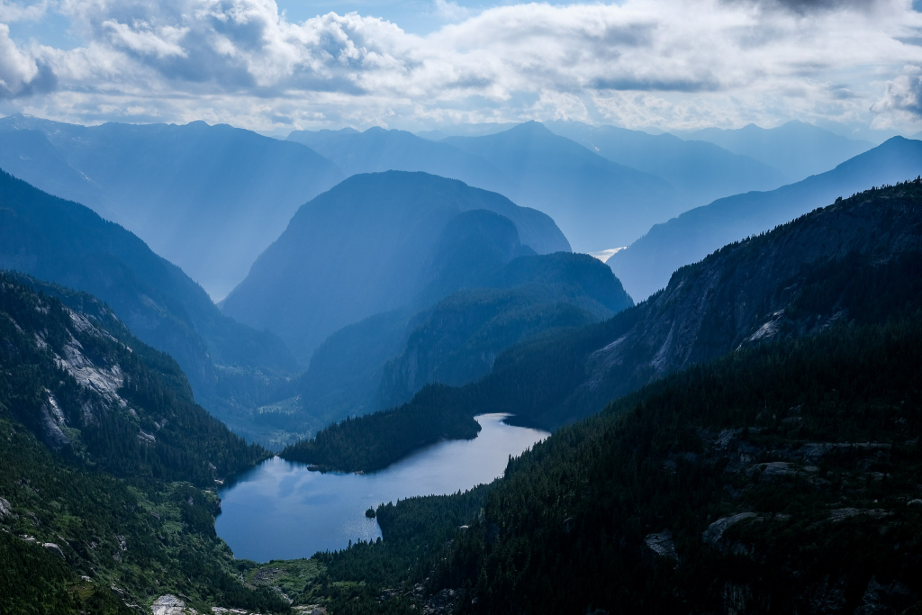
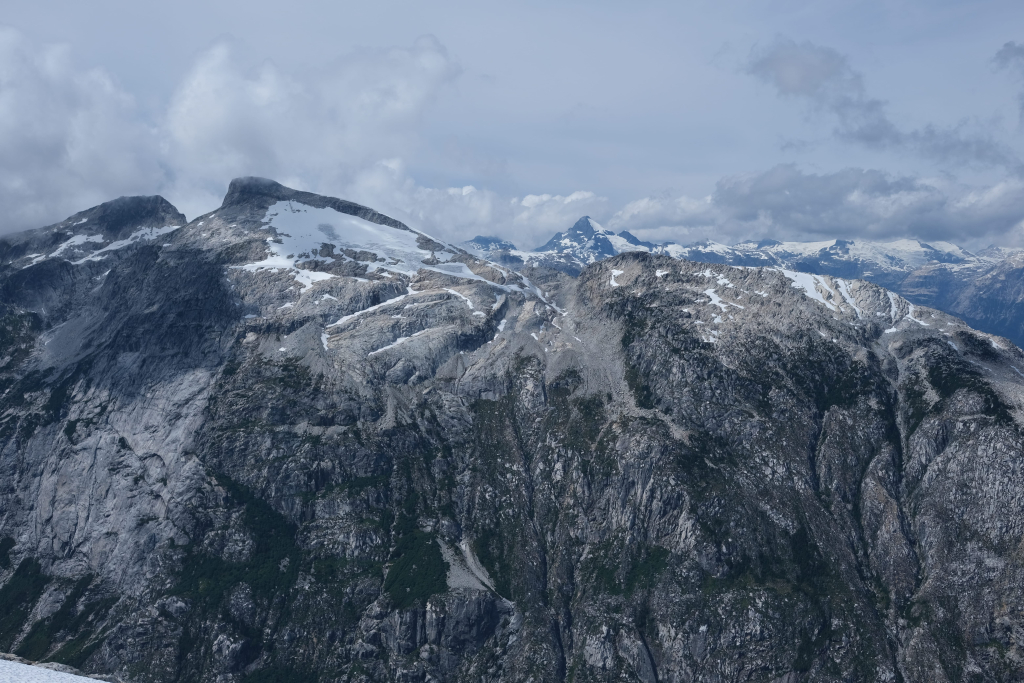
As the day wore on, we wore out. Progress had again been slow but the terrain was actually pretty interesting. First, traveling southwest towards the head of the valley was across big rock slabs with a few small climbs. Then, the descent to the col at the end of the horseshoe reintroduced some vegetation and limited views of lakes and Jervis inlet. I’m not sure we saw Princess Louisa inlet because of the clouds.
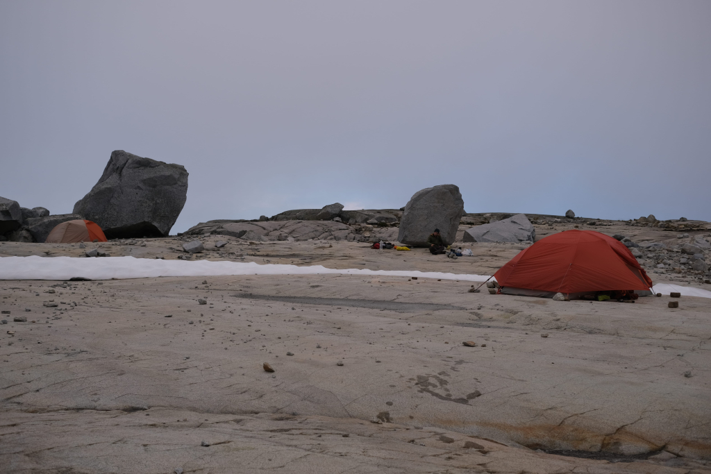
Our last achievement of the day was climbing a few hundred meters of the stepped terrain until we decided we had found the most premium camp site. We called the day at 6:00 giving us one more hour than the day before to bathe in a shallow tarn and enjoy some much-needed rest. We had only traversed a little more than half of the planned distance for the day leaving a lot of terrain for the final day.
Since we had so much distance to cover, we set off around 7:00 am the next morning. Much of the next couple hours was completely socked in with some on and off misting rain. This hurt our progress and made the rocks more slippery.
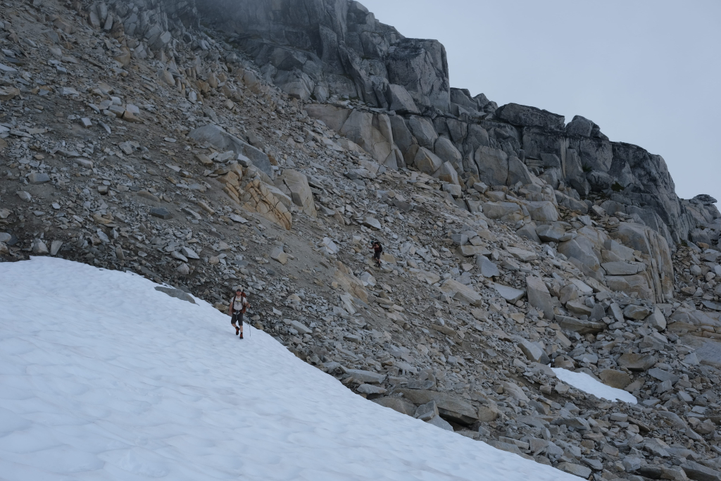
We passed over the first small peak of the day, crossed some glaciated terrain, and climbed the aforementioned unnamed summit west of Outrigger. Following this was a very slow, confusing, and intimidating period of the trip. First of all, many trip reports talked about a “notch” on the way to Outrigger. We interpreted that as just the col. However, as we neared the col in limited visibility, we seemed to be blocked by cliff bands of wet rock. Downclimbing seemed impossible so we started heading north looking for a way down to the snow of the col. After slow progress down the damp slabs, we finally spotted the true notch – a narrow cleft in the rocks.
We still faffed here for quite some time and made a blunder when we ventured on to some snow adjacent to a small pocket glacier that had a river flowing underneath it. In retrospect, we should not have been surprised when one of our party punched through the snow with one leg. Back on the rocks, we could see that a ~10 foot clattering onto rocks was the minimum consequence in store if he had gone all the way through.
Still with limited visibility and a hit to our confidence, we took what I assume to be an unusual path to the summit of Outrigger. We dropped lower than the notch and continued to lose a little more elevation as we headed generally a bit east of north. By this point, the visibility had begun to improve and we started climbing slabs towards the ridge line. The slabs were fairly steep but ledges and breaks kept the exposure low and we made it up to the ridge, finally back on track.
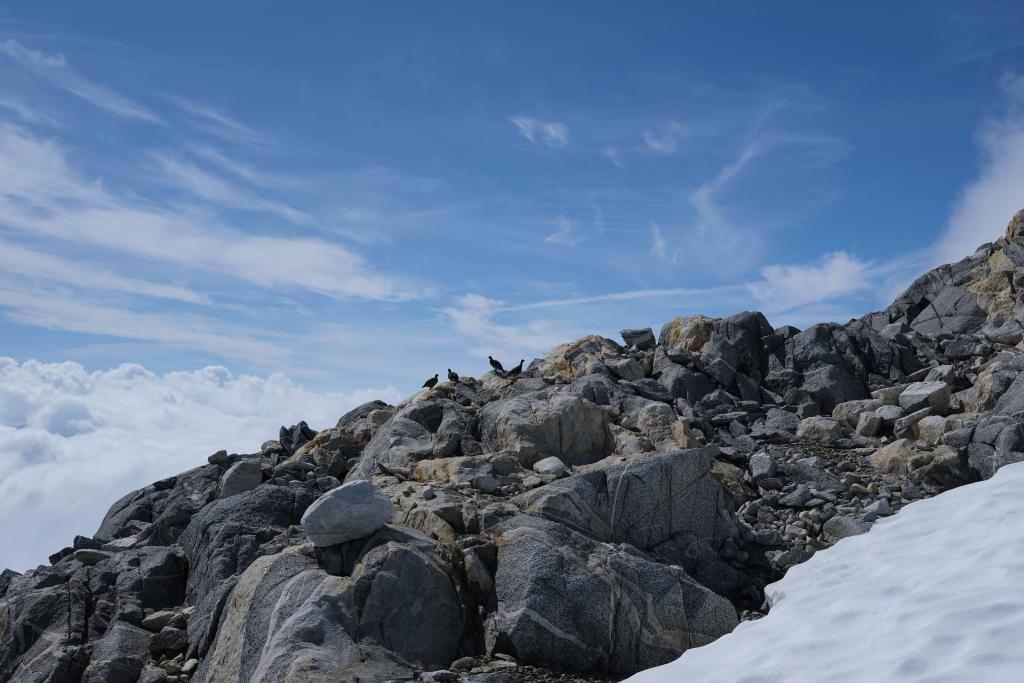
Once on the ridge and over the peak of Outrigger we were faced with no more routefinding difficulties but travel still seemed to be happening in slow motion. Past Outrigger were many small bluffs and some loose rock that took us a long time to navigate. We discussed at length the best place to start dropping down to the overgrown logging road and settled on following the advice of the earlier VOC trip report we found.
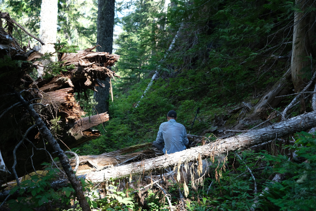
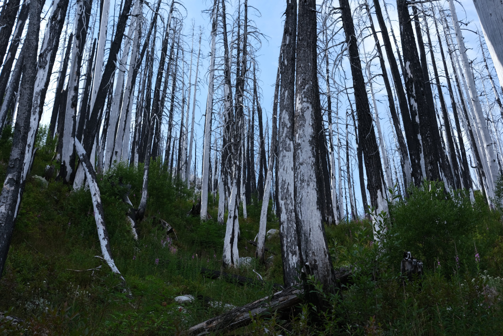
This final descent was very unpleasant as we fought bush, unstable soil, a sea of downed trees, and steep terrain. This is a ten year old wildfire burn so even the trunks that are still standing are often weak. An hour and a half after starting, we were standing at the end of the old road a little more bruised and dirty than at the top. What remained was about 6 km of descent on the road that alternated between clear and bushy.
We finished quite tired and sore at 8:00 pm for a total travel time in the neighbourhood of 33 hours. We bathed in the river, ate a cold dinner, and messaged our emergency contacts to let them know we would be getting back late (I got dropped off just before midnight).
Overall it was indeed an accomplishment but the ratio of bushy and/or road travel to alpine travel was too tilted in favour of the former. We were also robbed of most of the views that are purportedly a highlight of travel in this area. I think generally this route would be much more enjoyable if the G-main is ever reestablished which would, perhaps, bring back the Bug Lake trail. If those ~11 km became clear, the entire proposition would become much more interesting. I don’t regret going but that can be attributed to the very positive attitude our trio seemed to maintain throughout.
You must be logged in to post a comment.