The Vitals
Dates: August 27 – 28, 2016
Location: North end of Alouette Lake
Partners: Christian and Riley
Distance: ~30 km, 3100 m elevation gain
Time: ~15 hours total moving time
GPS Tracks: see below
The Trip
The first mention of Robie Reid in my email is in September 2014, where an email faff organizing a one-day trip evaporates into the ether. I’m not too sure what I ended up doing… The next mention is October 2015 where, again, a one-day trip failed to materialize. In that instance I had gotten far enough to borrow a GPS from Dawn and upload some tracks from another party (Trip Report with GPS tracks from 2009). For this attempt a party of three coalesced in the form of me and the brothers Baechler. The plan was to skip the one-day ascent and make it an overnight while camping at some tarns at around the 1350 m mark.
The night before the trip at about 9:00 I decided to call up Dawn and borrow the GPS again. I wanted to take tracks but I didn’t intend to use it for navigation.

We left Vancouver on time at 7:00 and made it to the logging road about an hour later. The driving directions are very simple:
- Get yourself to Dewdney Trunk Road travelling east from Maple Ridge
- At the Stave Lake Dam take a left on Burma St./Florence Lake FSR. Burma St. is signed.
- At about kilometer 11 take the left fork to stay on the Florence Lake FSR – very easy to find.
- If in a vehicle of weak constitution (e.g. a Toyota Matrix) you’ll get stopped by a fairly steep hill with deep potholes at about kilometer 17 from Dewdney Trunk Road. If not, continue to around kilometer 20 and take a left spur to the parking at a pair of yellow, steel gates.
We attempted to get the car through the steep section at km 17 but the car carelessly ejected the stones from our lovingly-filled potholes. Alas, an extra 3 km of hiking.
The trail itself starts at the aforementioned yellow gates where the road is followed for about one kilometer downhill before entering the forest at a left switchback. The entrance is marked with flagging and was not difficult to find. The trail then skirts beside Alouette Lake gaining and losing elevation, sometimes quite steeply, but is easy to follow. In fact, everything is very well marked up until tree line.
At the north end of the lake the elevation is about 180 meters, at which point you begin a climb to 1350 meters in only 3.5 km. From the car to the tarns took us 4 hours on the way up but is so steep that it ended up taking 4.5 on the way down! Some area yardsticks to measure steepness by are the Grouse Grind (2.9 km/853 m – well maintained) and Williams Peak (some website claims about 1.5 km/ 900 meters). I have done both in the past year but Robie Reid truly does blow them out of the water. I am extremely wary of putting too much faith in online route descriptions but the notoriety of Robie Reid’s approach trail is well deserved. Simply put, it’s an hour and a half or so of a mixture of steep hiking and good, ol-fashioned dirtaneering.

Once at the tarns we dropped our overnight packs and packed summit bags with a little food, water, and 20 meters of climbing rope. To this point we had been hoping that a persistent cloud layer that was sitting just above the tarns would burn off and we would get some views of the summit but, when 1:00 pm arrived with no sign of improved visibility, we resigned ourselves to climbing in the fog. Here is where borrowing Dawn’s GPS paid off in spades. Above the tarns is also above treeline, where rock markers may very well prove sufficient in clear weather but were too few and far between to navigate with in the pea soup. Fortunately, the tracks I had uploaded in 2015 were still on the device. For the next 4 hours I blindly led the way by staring half at a little screen and half at the snow and rocks we were travelling through. If you check out our GPS tracks you’ll see numerous little “spurs” that go nowhere – instances where we got off track and were on the wrong ridge or above steep cliffs.
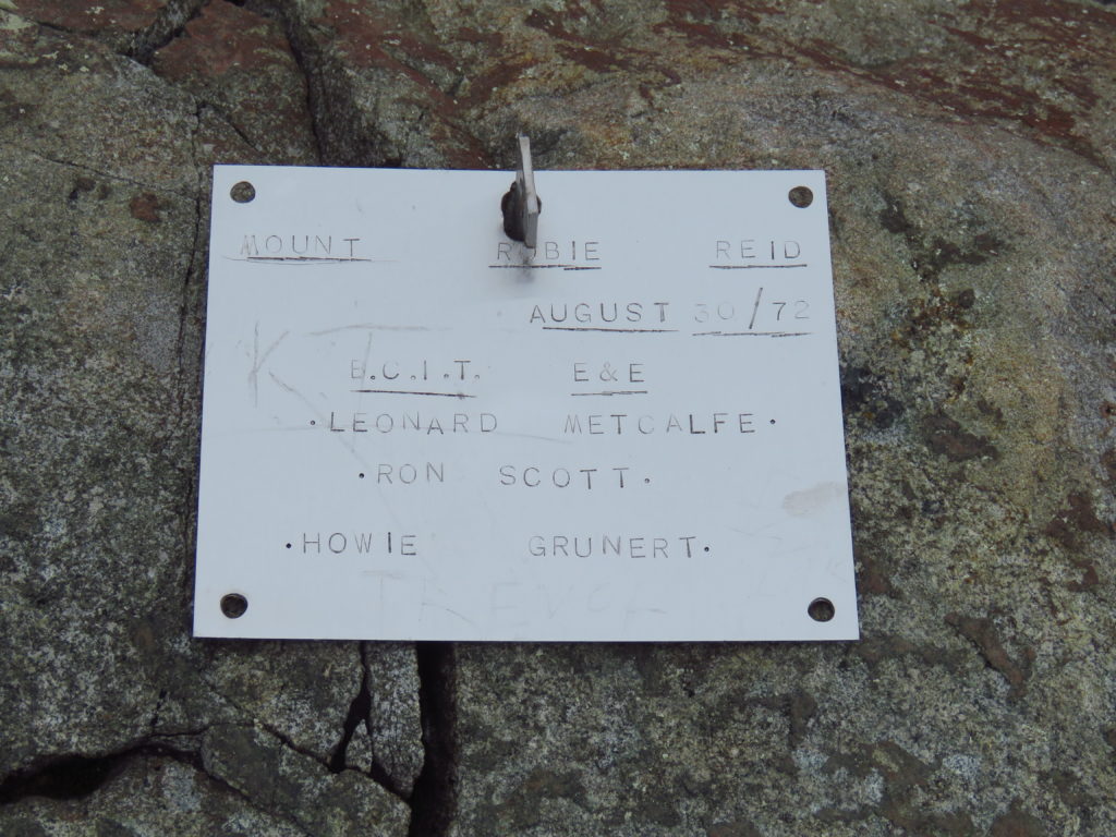
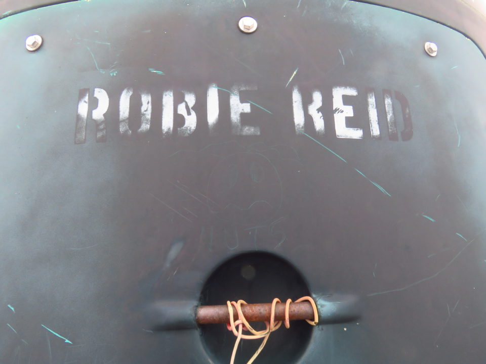
The scrambling itself, the main attraction to climb the mountain, is solid but short lived. From reading other reports I expected the gully to be straightforward and the final step to be more difficult. In actuality, we agreed that those reputations are to be reversed. This is not to say either were particularly difficult. The rope only came out as a handline for one party member on the descent. Once up the gully, you enter a small notch and turn right to follow the ridgeline past the radio tower to the final step and summit. The trip report on Club Tread linked to earlier is a much better resource since our ascent was spent with visibility measured in the dozens of feet.

Reversing posed no problems and we were back in camp at about 7:30 pm, having left the car initially at 9:00 am. The next morning’s wakeup call was at 5:45 am so that Riley could be back in Kits by 1:00 pm to handoff the car. We were mostly successful in this regard, with Riley getting home at about 1:30. You can blame the extra half hour on the descent taking that amount longer than the ascent when we had banked on them being the same. You can also blame the lack of victory ice cream on the same root cause.
Overall it will be difficult to convince myself to repeat this hike in nicer weather. The scrambling isn’t difficult or exposed enough to be a big attraction, and anyway Mt. Judge Howay beckons with the promise of a much more involved approach (canoe -> bike -> bushwack) and very similar vistas.


