The Vitals
Dates: October 9-10, 2016
Location: Brittania Beach, BC
Partners: Brittany
Distance: ~38 km (2400 m elevation gain)
Time: Easy Weekend
Resources: Rich So’s blog, VOC forum, trailpeak
Photos: Brittany, except when she is the subject
The Trip
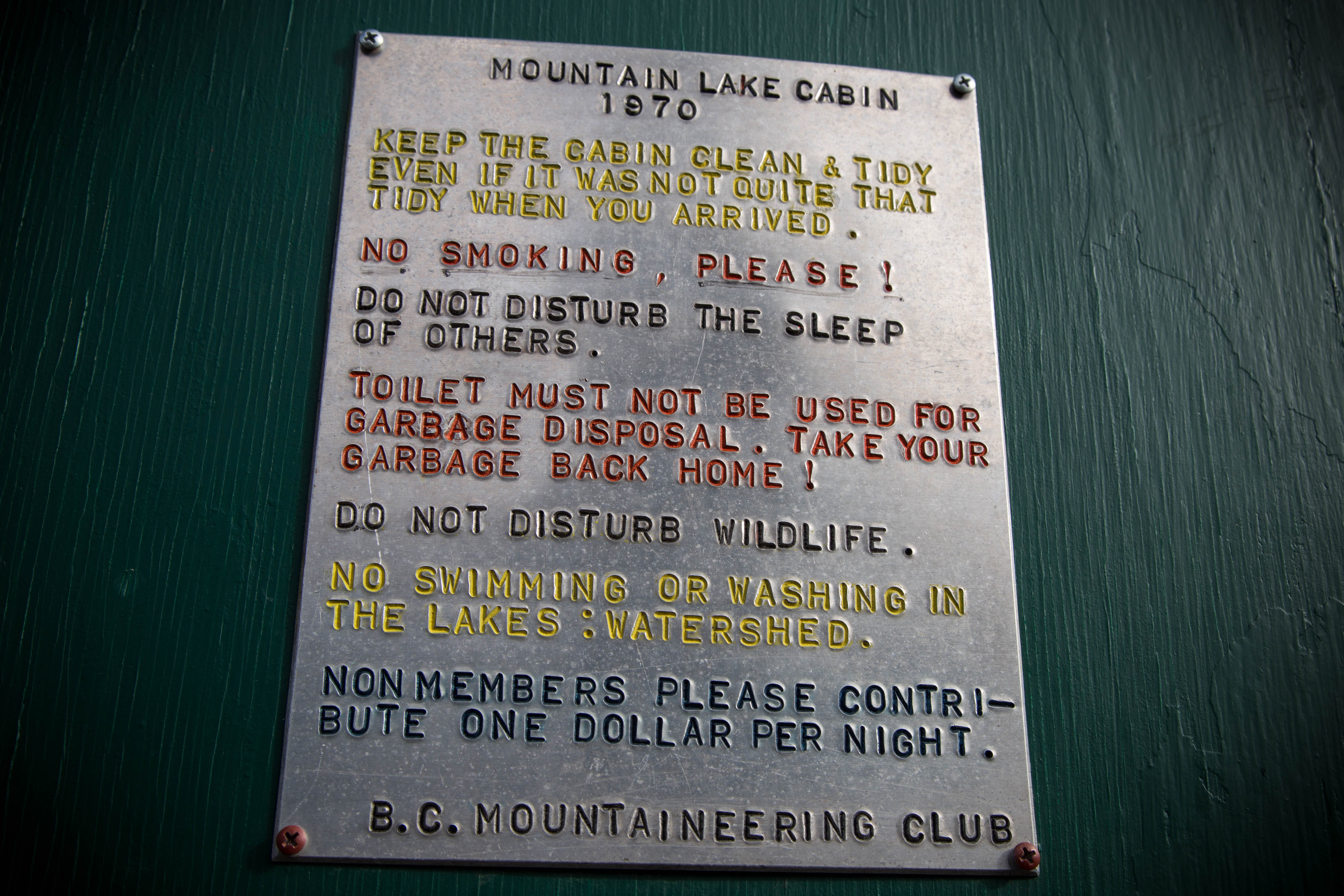
Thanksgiving weekend was forecast to be pretty bleak in terms of weather, but once it came around it seemed the rain would be contained to Saturday, leaving Sunday to Monday open for a weekend-length trip. At the end of August I heard about a BCMC hut that was new to me and surprisingly close – less than an hour’s drive from home in the mountains above Furry Creek and Brittania Beach. This hut, the Mountain Lake Hut, was built in 1970 but doesn’t seem to be an especially popular destination lately. This is likely due to the access being 10 km+ of logging roads followed by some very bushy trail before gaining the alpine. The gate at the very bottom is locked (the BCMC has a key but they claim it is reserved for official BCMC trips only) meaning a long hiking slog or a pretty quick bike trip. Obviously we chose the latter option. After sizing up various small 4×4 trucks last winter, I’ve come to realize that mountain bikes open up a lot of the same terrain a truck would at a similar speed (though with a tad more effort).
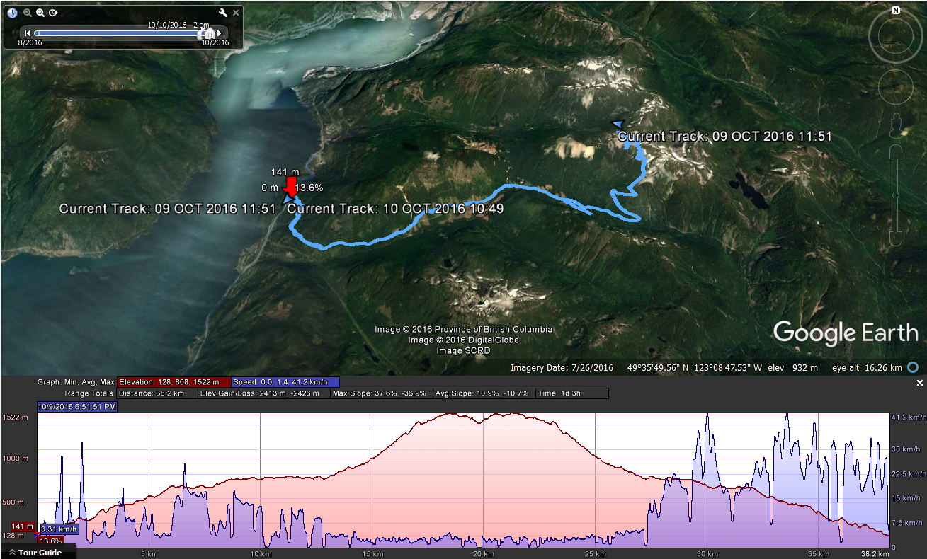
We left Vancouver around 10:30 am and parked at the locked gate on the east side of the highway just after the long hill north of Furry Creek. We cycled up the road, making pretty good time until I confidently led us across the wrong creek crossing by taking a spur on the right of the Furry Creek FSR. This spur is about 10.3 km from the highway and starts heading down a short hill before a deep creek crossing. Stay left here and cycle another ~500 meters until a different creek crossing. There’s no point in bringing bikes any further due to the imminent bushwhacking. Note that these distances are a little different than those listed in other resources but they are correct here when measuring from the yellow gate at the highway. The other sites may have been measuring from the red gate at the start of the Furry Creek FSR.

The trail is well-marked by various colours of flagging tape, but very overgrown. We were soaked by the time we reached the alpine simply from brushing up against the trees that were still dripping from the previous day’s storm. Once the alpine is reached, rock cairns lead through several alpine bowls before descending a little under 100 m to the hut.

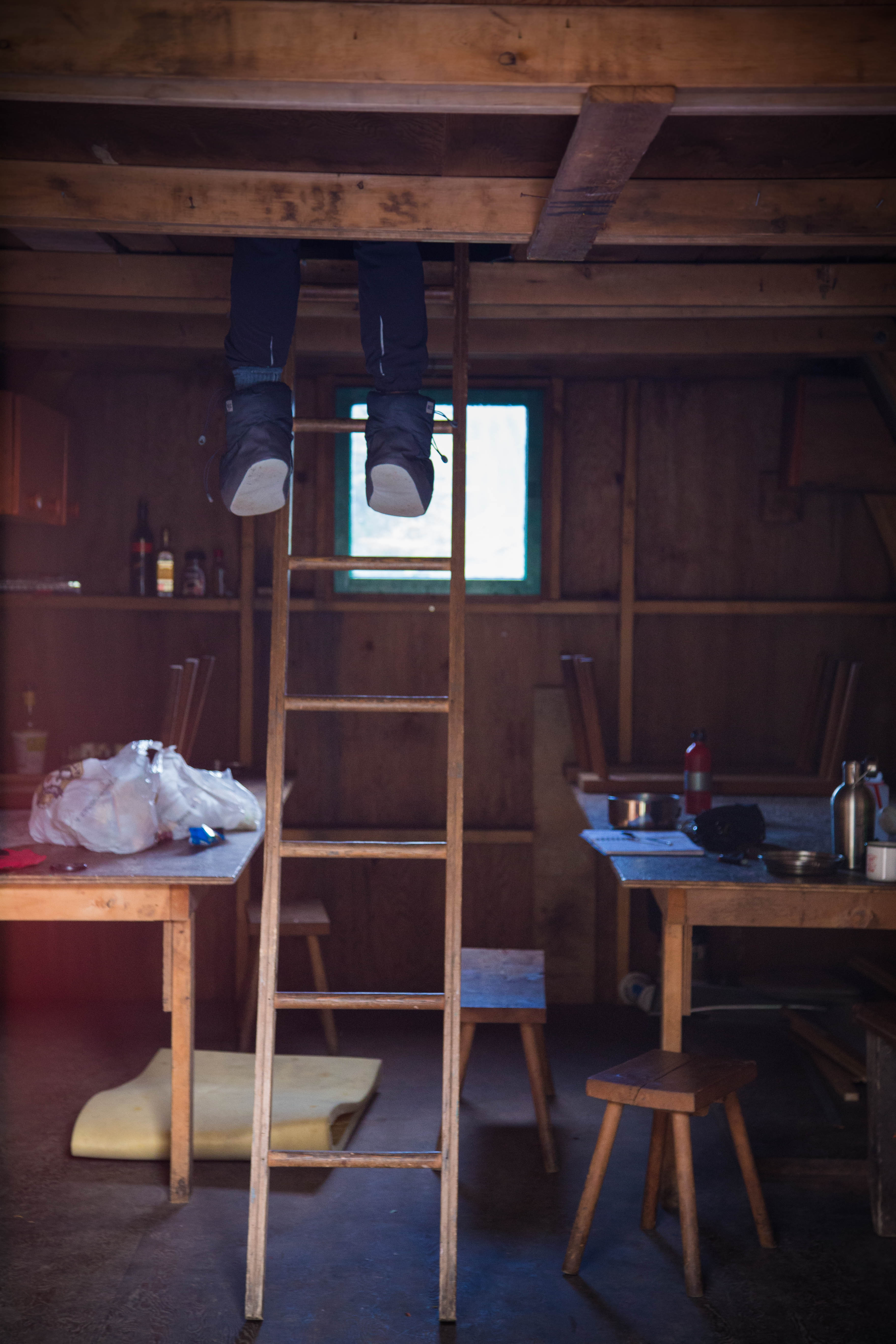
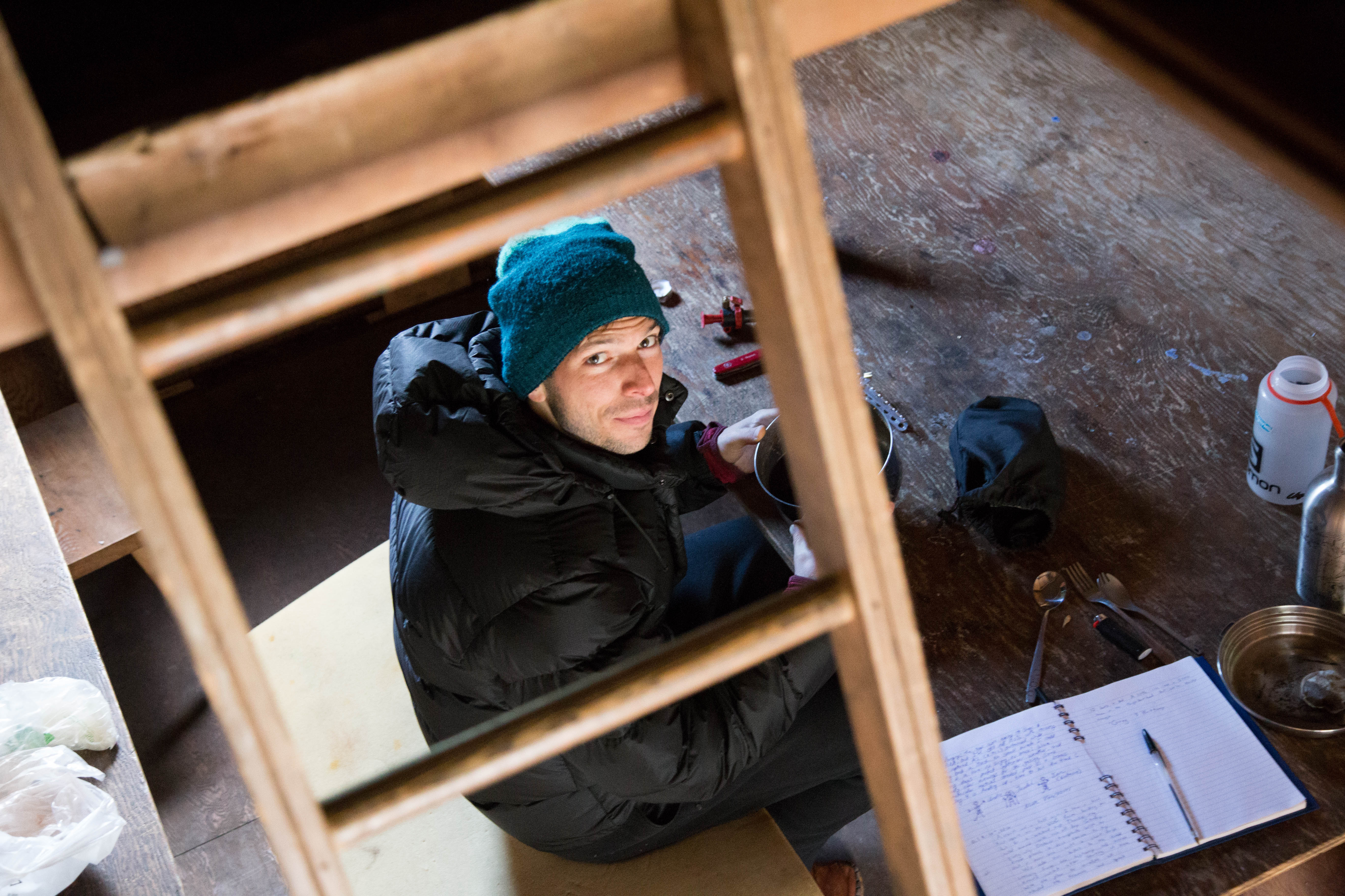
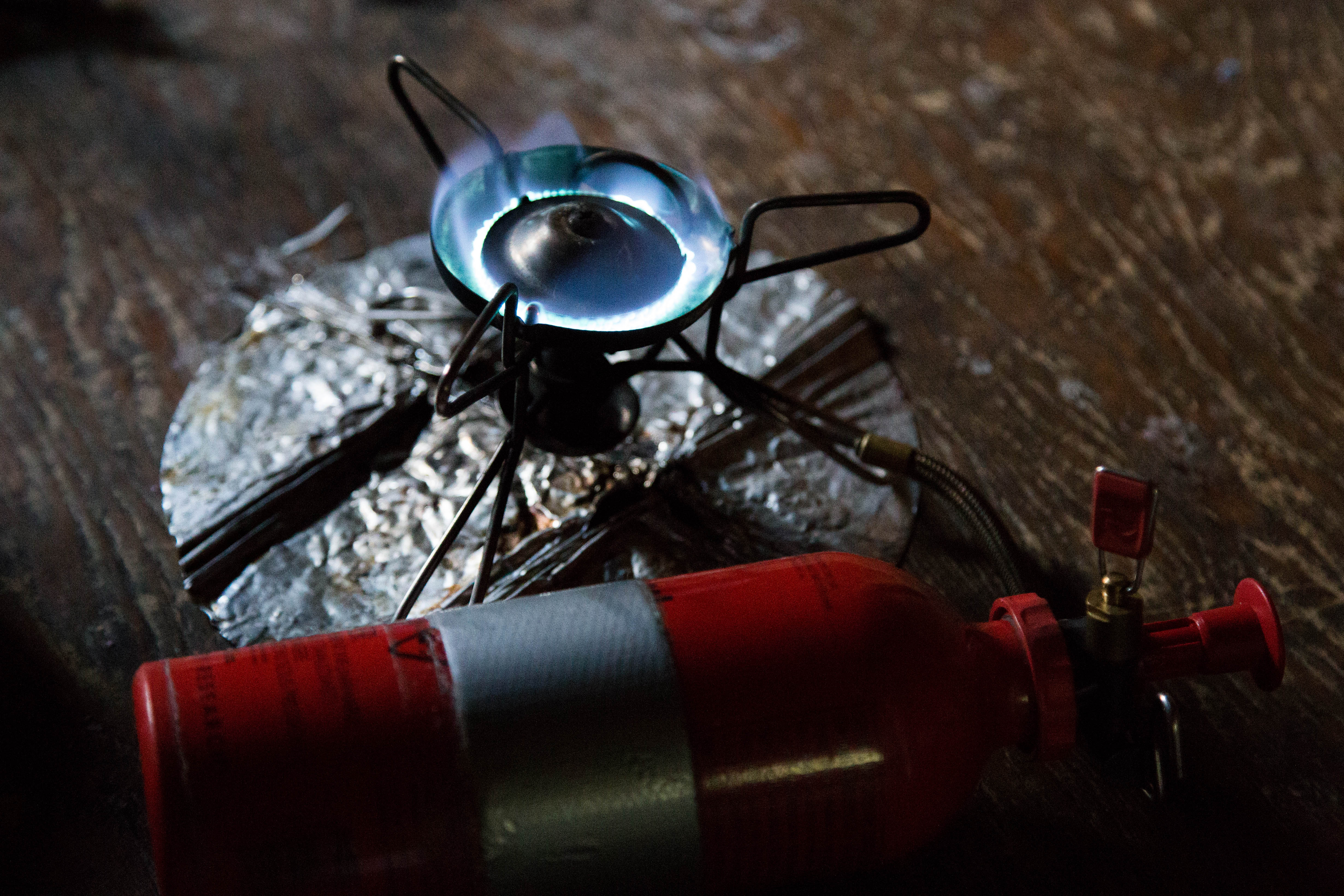
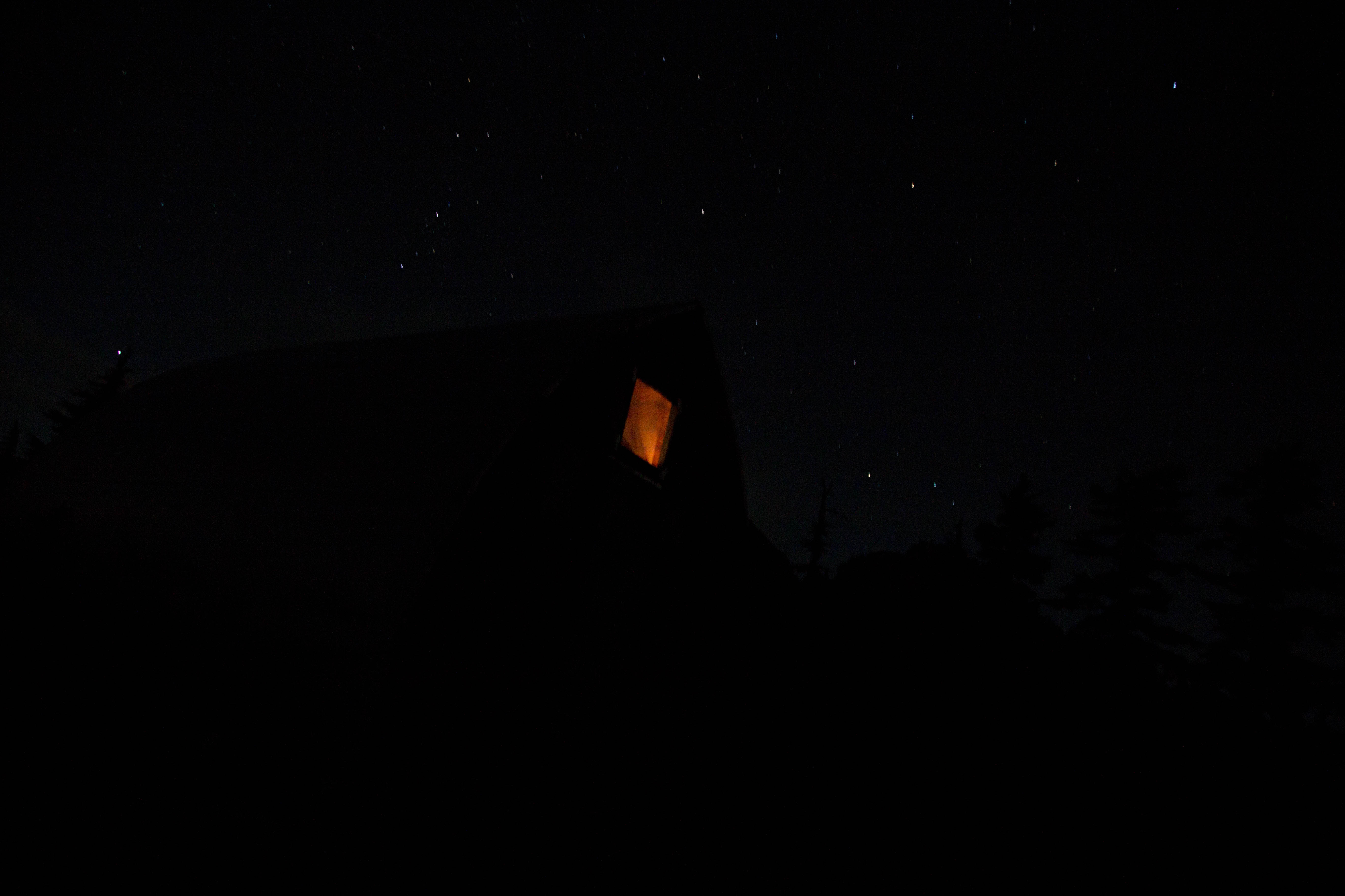
We were lucky enough to have the place to ourselves so we stacked up the foamies (6 thick foamies live in the hut) for a plush night and watched the sunset while cooking dinner. There are a lot of scrambleable peaks in the vicinity but we were happy enough to just wander in the alpine without bagging any summits. Some that are available to be snagged are Sky Pilot, Ben Lomond, Bagpipe Peak, Ledge Mountain, and Sheer Mountain. There are also two old dams and apparently an old mine shaft. There was definitely evidence of the mining past of this area with numerous rusty shovel and pickax heads leaning against the hut and an old tin cup and plate.


We plan on returning next summer with a small crew to get in some scrambling in a great setting near the city but be warned, the hut logbook reports terrible bugs until late in the year!





You must be logged in to post a comment.