
The Vitals
Date: July 22, 2017 and September 9-10, 2017
Location: Coquihalla
Partners: Brittany, Christian, GPD, Eric T
Distance: ~15 km, 2157 max elevation
Time: Two easy days
Photos: Brittany (Instagram)
The Trip
I had heard of Mt. Jim Kelly before but somehow not heard of Coquihalla Mountain and didn’t know they were such attractive scrambling destinations for easy weekends. Typically it has been the case that if it isn’t in Matt Gunn’s guidebook, I don’t know of it.
In July, Brittany and I had planned to do the Golden Ears traverse but the weather was poor and supposed to be better the further east you went. We researched options and this trip came up. We drove there in my car which has no problem on the Tullameen FSR but can’t make it up the last three kilometers on the spur road.
The tracks end at the meadow camping area and are from our trip in July.
The trail was easy to follow into the alpine meadow but unfortunately the mountains seemed to be trapping the weather and just as we neared the popular camp area, it began to rain. We set up the tent and had lunch and a nap but the rain didn’t stop so we just gathered up our stuff and returned to the city the same day.

In September we got some friends together to scramble in the Twin Sister range but again the weather was poor almost everywhere. Coquihalla mountain was again the backup plan and once more it rained as we reached the meadow. Our quintet spent about eight hours in the three-man tent before going to bed hoping for clearer skies in the morning.
Our luck changed and the sun came out on Sunday and we set off to try a traverse from west to east over the three summits of Coquihalla and then Jim Kelly.
I vaguely remember instructions about taking the NW ridge up Coquihalla but we didn’t know much more than that. As we passed beneath the east edge of the mountain on the north side it looked like the descent was going to get pretty exposed.


We found some trail markers just west of the gully at the NW corner of the mountain and embarked on a pretty straightforward scramble to the top of the highest peak. We debated continuing since looking down the ridgeline was intimidating and the rock had generally been looser than is common on other scrambles. We did eventually downclimb to the notch with the second peak and then scrambled up a bit more vertical terrain to its summit but here lies the reported crux – a short section of knife-edge ridge.


Brittany and I weren’t feeling it and downclimbed our route up in some pretty ferocious wind, while Christain and Eric continued. Since we had to backtrack so far, they had easily finished the loop before we got back to the trail fork. Reportedly the scrambling is a bit dicier beyond the second summit and the downclimb was especially exposed. Nonetheless, they didn’t have any major difficulties with routefinding and we decided to skip Jim Kelly due to the time of day.
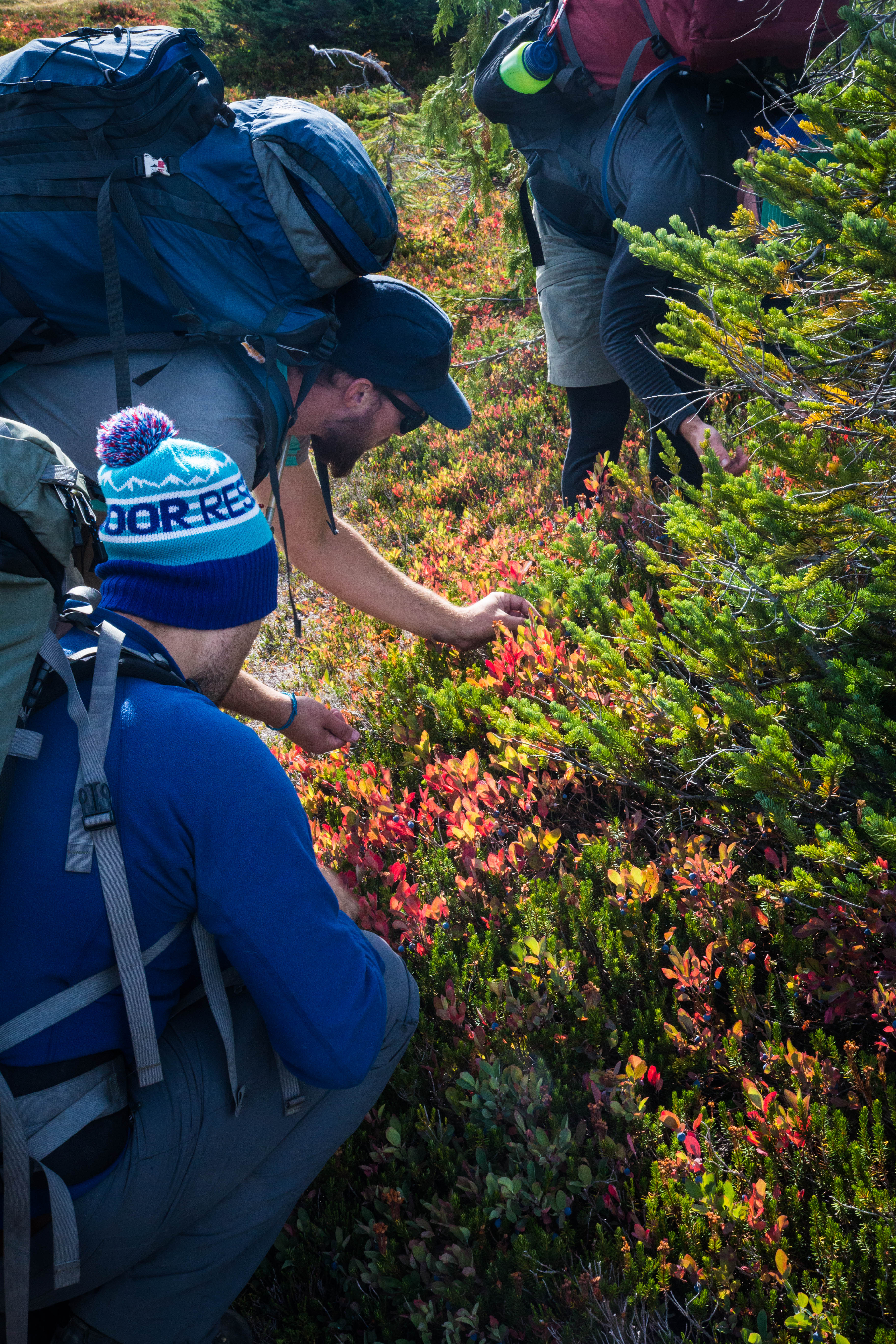
On the descent we could see evidence of a wildfire raging somewhere to the southeast and enjoyed the coming of Autumn to the alpine and ate some of the abundant blueberries. This area is very scenic and with the short approach to the alpine is probably going to get busier. I don’t know the names of smaller peaks in the surrounding area but it looks like a good location to come for three or four days as well and just wander around in the alpine tagging them.

You must be logged in to post a comment.