
The Vitals
Date: May 18 – 20, 2024
Location: Kamloops, BC
Distance: ~200 km
Time: 3 days
Resources: Bikepacking.com
The Trip
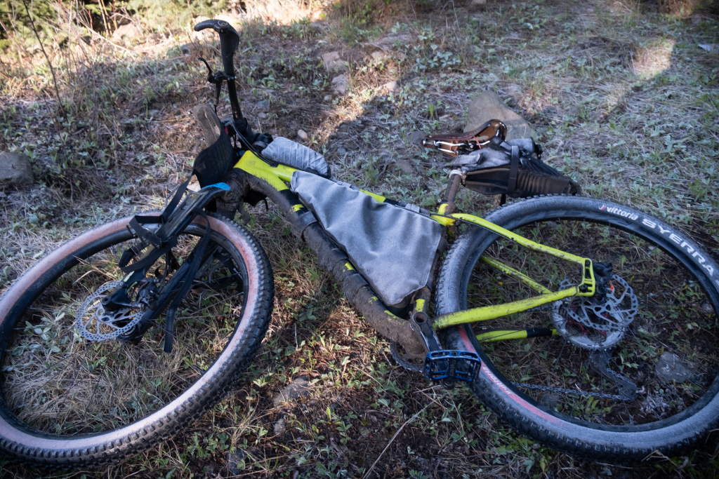
The past few years have been low on bikepacking trips but we have managed a couple of routes from bikepacking.com including the Cowichan 8 and Texada Island routes. Part of the reason was a mismatch in equipment as Brittany still had her 27.5×2.8″ wheels on a Timberjack from our 10 month trip in 2018-2019 and I had, variously, a commuter bike with 32 mm tires, a gravel bike with 43 mm tires, and now a gravel bike with 29×2.1″ wheels. In the week before this trip, we converted the Timberjack to a 29er with 2.4 inch tires and we were ready to rock.
Neither of us have ever done any recreation near Kamloops and this route on bikepacking.com mostly piqued our interest for it’s appropriate length for a long weekend. We originally planned to drive partway on Friday night and camp but lots of recent overtime had me pick sleeping in my own bed with a 5:30 wake-up call. This ended up being a good call as it rained everywhere overnight between Vancouver and Kamloops. It was even snowing a bit as we crested the Coquihalla summit.
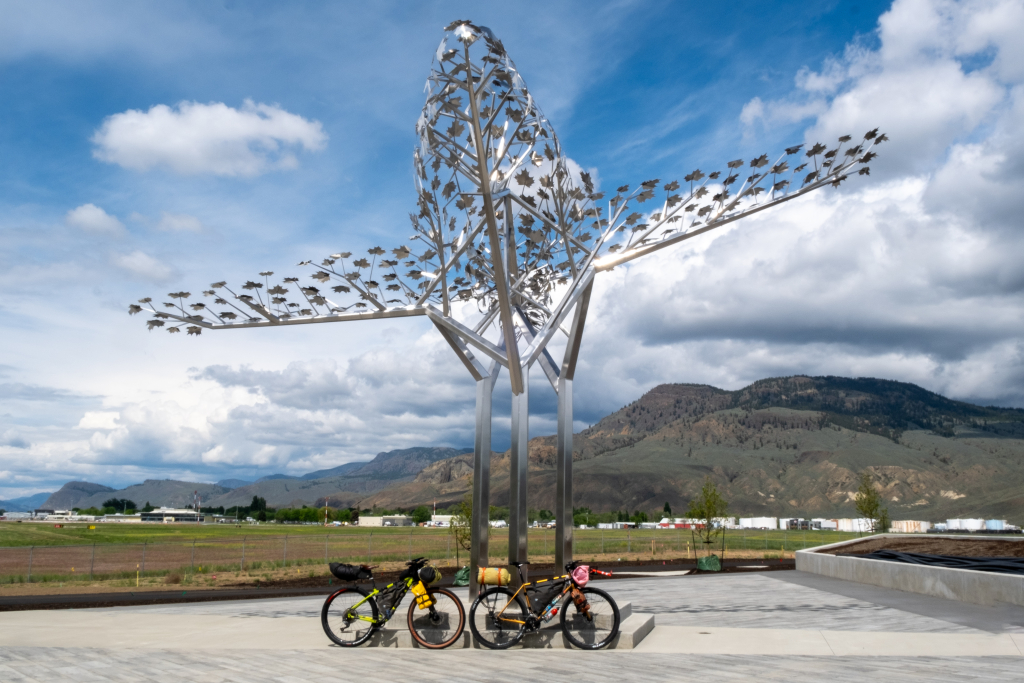
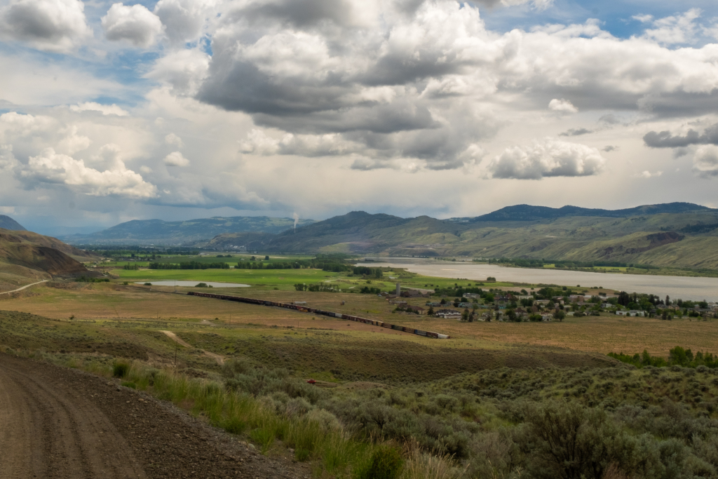
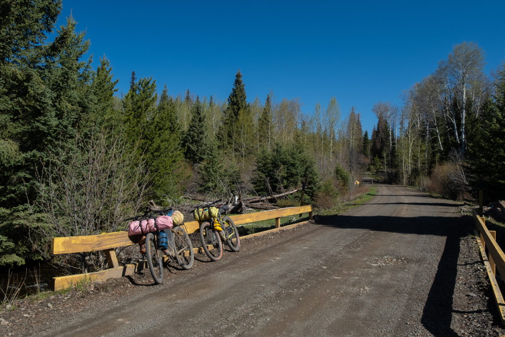
Kamloops itself was relatively dry with much more greenery than most of the year, but black clouds could be seen in all of the mountains surrounding town. We parked at the airport and packed up, starting around noon.
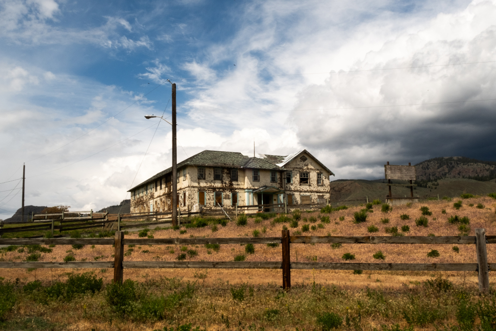
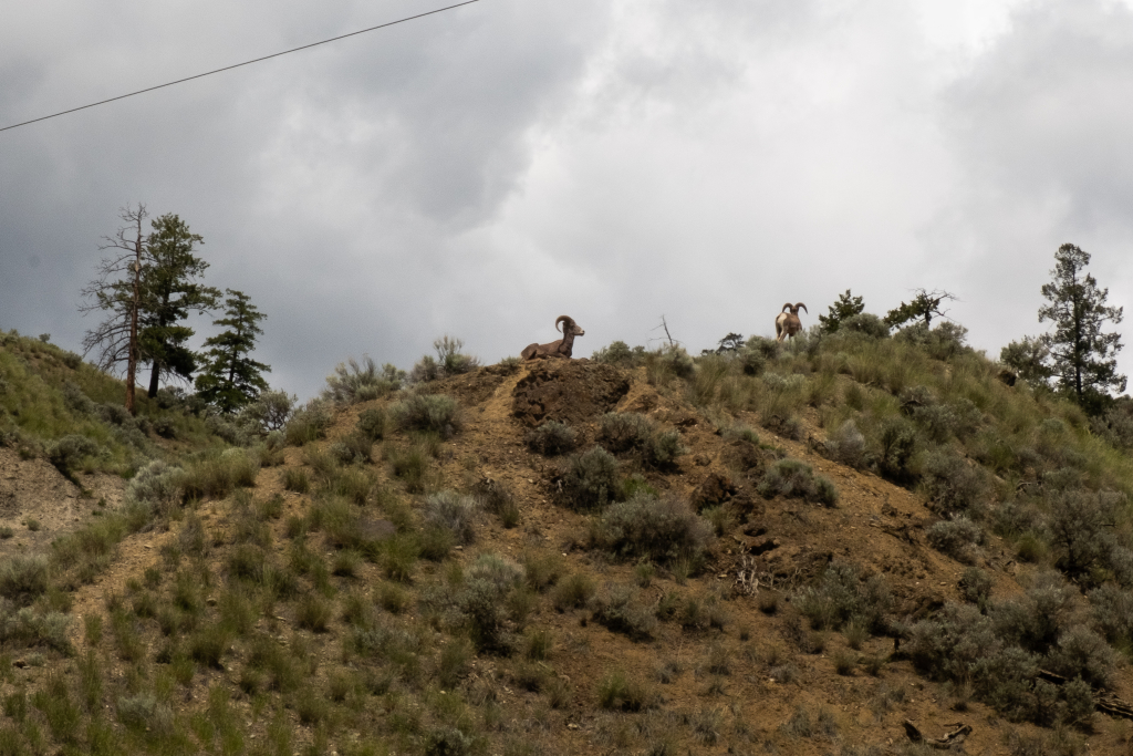
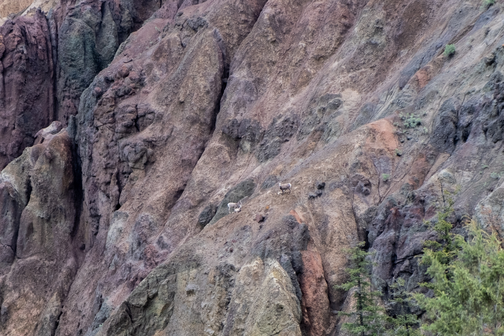
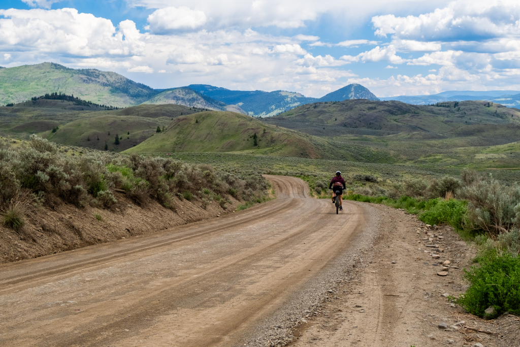
The route started on flat gravel trails next to the river before passing the Tranquille Sanatorium that said “No Trespassing”, so we didn’t. Next up, the paved road ended and a fairly steep climb started. We spend an hour or so climbing up, getting some views of bighorn sheep and of the Thompson Valley.
Upon the first descent, the wind picked up and the rain started. I had packed optimistically without pants, gloves, or too many extra layers so it was a cold stretch of road while spraying mud over our bikes, bags, and ourselves.
It didn’t rain again, though black clouds and some spitting threatened that it could. Over the course of the afternoon we mainly climbed with some pushing when the thick mud started to stick too badly. The landscape also changed, having now reached the area that had burned in a wild fire a couple of years ago. On this higher plateau, the landscape was a bit bleak, especially given the weather, but we did see many birds including mating pairs of American kestrels and mountain bluebirds – a real highlight.
The final section of the day was a long descent on a rough and muddy road down to Criss Creek and a very decent campsite. The creek was high with yellow water but we were fine treating and drinking it. We got on our warm clothes and went to bed early.
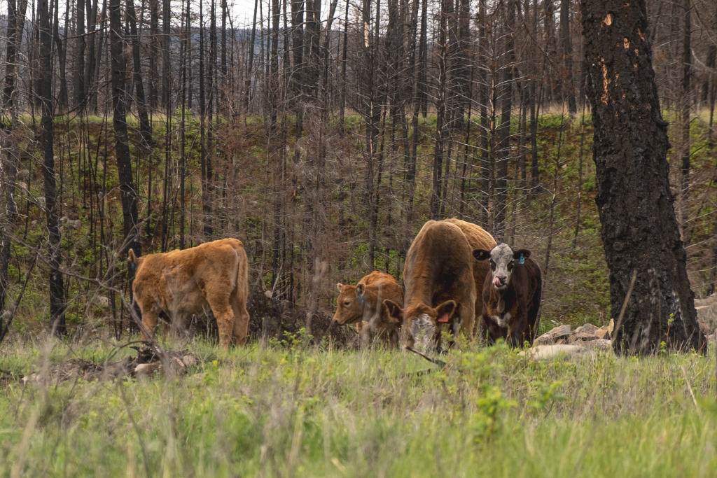
The morning was sunny but we were camped in a bit of a hole so it took a little while for the rays to reach us. We crawled out of the tent with grazing cattle all around, made breakfast, and set off around 10:00.
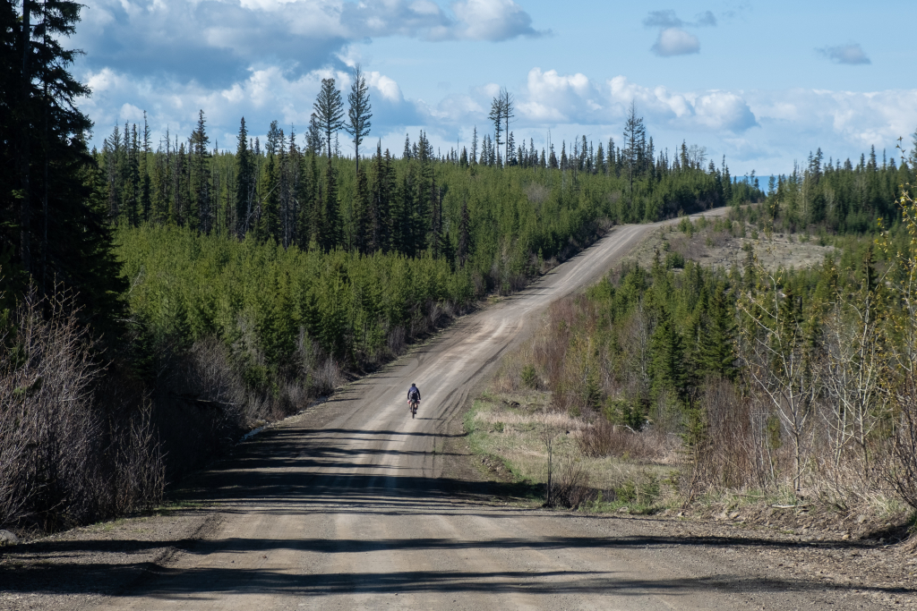
The start of the day was a very short climb and then a long descent on a smooth gravel road through the old burn down to the Deadman river valley. There were some good rock formations and more wild sheep before we started passing ranch after ranch in a very picturesque setting. A few times we had to find our way though groups of impassive cattle and the entire time was spent labouring against a wind heading down the valley.
This section, past more ranches then a series of lakes to the head of the valley and the final climb up to another plateau, took us several hours despite being about 30 km. The wind, the climbing, and the lower general fitness made it tough but the skies were sunnier than the day before.

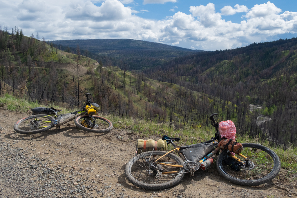
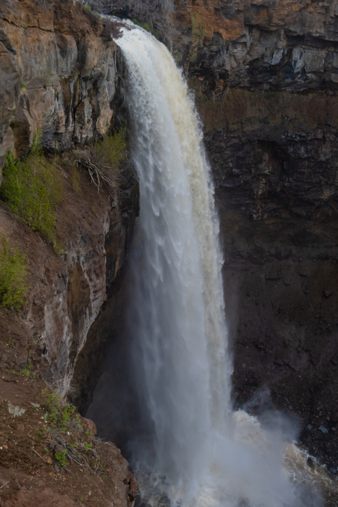
On the upper plateau we visited the impressive Deadman Falls and began to ride with the wind now at our backs. Searching for camping on this stretch of road, we eventually settled for a small road pullout next to a trickling stream. It would have been better to carry on another 20 minutes, which we learned in the morning, but we were tired and ready to stop. There was a brief shower as we set up camp and we cooked from inside the tent. With it already being well into the evening, we pretty much went straight to sleep. This was pretty far from my dreams of short riding days in hot weather while enjoying a long afternoon at a pretty lakeshore campsite.
The night was very cold camped above 1300 m. Our 1 L water bottles were half frozen in the morning and there was a heavy frost on the tent and on the bikes. I was in a summer sleeping bag and only able to get snatches of sleep by pressing up against Brittany. We recently bought a 3-man tent to have more space but this makes it harder to huddle for warmth without sliding off your mattress.
Luckily the air warmed up quickly in the morning and we were able to have a nice breakfast on our picnic blanket in the middle of the road. We did not see another person or car the entire time we were on this section of the loop – about 20 hours total.
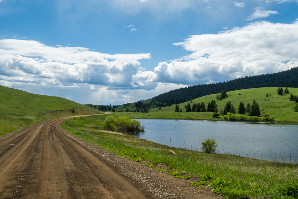
We set off a bit earlier than the day before and soon enjoyed a long descent after the next road junction. At the bottom of the hill was a very pretty pasture area next to the same creek we had camped beside on our first night but about 15 km upstream. From here we had a series of hills as we gained elevation to the route’s high point of 1500 meters or so. The biking was pleasant with warmer temperatures and a gentle tailwind. Even though we started seeing a few cars, it was still only a couple per hour and presently we had a lunch break at Saul Lake, just before we began the long descent back to Kamloops. There were still a few patches of old snow at this elevation so summer hasn’t yet truly arrived.
From Saul Lake it was nearly all downhill until Kamloops except for a brief ~100 m climb. The roads started very smooth and we were able to fly down without risk. Around Pass Lake, the forest thinned and we were now in the Lac du Bois grasslands. Vehicle traffic picked up instantly but the landscape and riding were still very pleasant with long waving grasses and small lakes with many birds. We saw a Great Grey Owl on a fence post as one last wildlife highlight.
With around 2 km until pavement, the road got very washboarded and the biking was a lot less fun but it was a short section, made shorter by still being downhill. Out on the pavement we were able to easily navigate across town back to the airport and a change of clothes. On the drive home we spotted a very healthy looking black bear at the Coquihalla summit before a diner dinner and a cruise through the Fraser Valley.
You must be logged in to post a comment.